Home   About Us   Our Services   Our Projects   Contact Us  
Our Services Land Survey Topographic Survey    
 
Land Survey
GIS Survey
Underground Survey
Marine survey


Topographic Survey

• Determining the locations of points and visible features on the earth's surface by    measuring co-ordinates ( E.N.Z).
• Establishing reference Bench Marks .
• Products: Topographic survey map or as built drawings with bench marks.


Other products and maps if required
• Generating Contour Lines for the survey surface showing elevations.
• Generating Cross Sections and Longitudinal Profiles.
• Generating Spot Elevations on grid on the survey surface.


Co-ordinates System
Two types of co-ordinates can be used
• Local co-ordinates for small areas maps will be in approximate north direction.
• National co-ordinates using for big projects, determining plot limit, using reference bench mark from municipality, maps will be in actual north direction.

General Principles
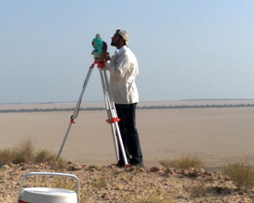
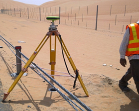
• Establishing a new control points where no control exists for using national co-ordinates using Static Survey method.
• Submittal will be Auto Cad drawings scale 1/1000 ( one cad unit = 1 meter )
• Underground utilities survey for pips and cables using GPR ( Ground Penetration Radar ) will be available very soon.


Global Surveying Projects © 2013 - All Rights Reserved | Website Designed & Developed By: Tornado